 vesseltracker.com
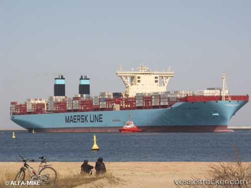
Vessel Magleby Maersk IMO: 9619957, MMSI: 219018986 Container Ship
UTC, 3.26463, -12.22292, course: 326, speed: 17.9
UTC, 3.86813, -12.63363, course: 325, speed: 17.8
2026-03-12 21:10:45 UTC, 4.11665, -12.80950, course: 326, speed: 17.9
Live Vessel Magleby Maersk Analytics (details, animations, etc.)
Live AIS position: UTC. 179 nm SW of Monrovia), updated 2026-03-12 21:10:45 UTC.Find the position of the vessel Magleby Maersk on the map. The latter are known coordinates and path.
marine traffic ship tracker show on live map
The current position of vessel Magleby Maersk is 4.11665 lat / -12.80950 lng. Updated: 2026-03-12 21:10:45 UTCDetails:
Last coordinates of the vessel:
UTC, 2.77062, -11.88353, course: 325, speed: 17.7UTC, 3.26463, -12.22292, course: 326, speed: 17.9
UTC, 3.86813, -12.63363, course: 325, speed: 17.8
2026-03-12 21:10:45 UTC, 4.11665, -12.80950, course: 326, speed: 17.9